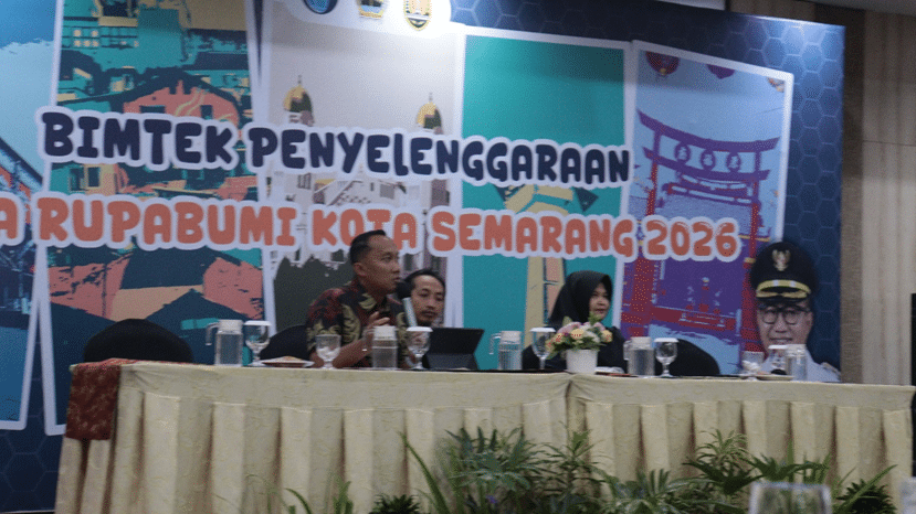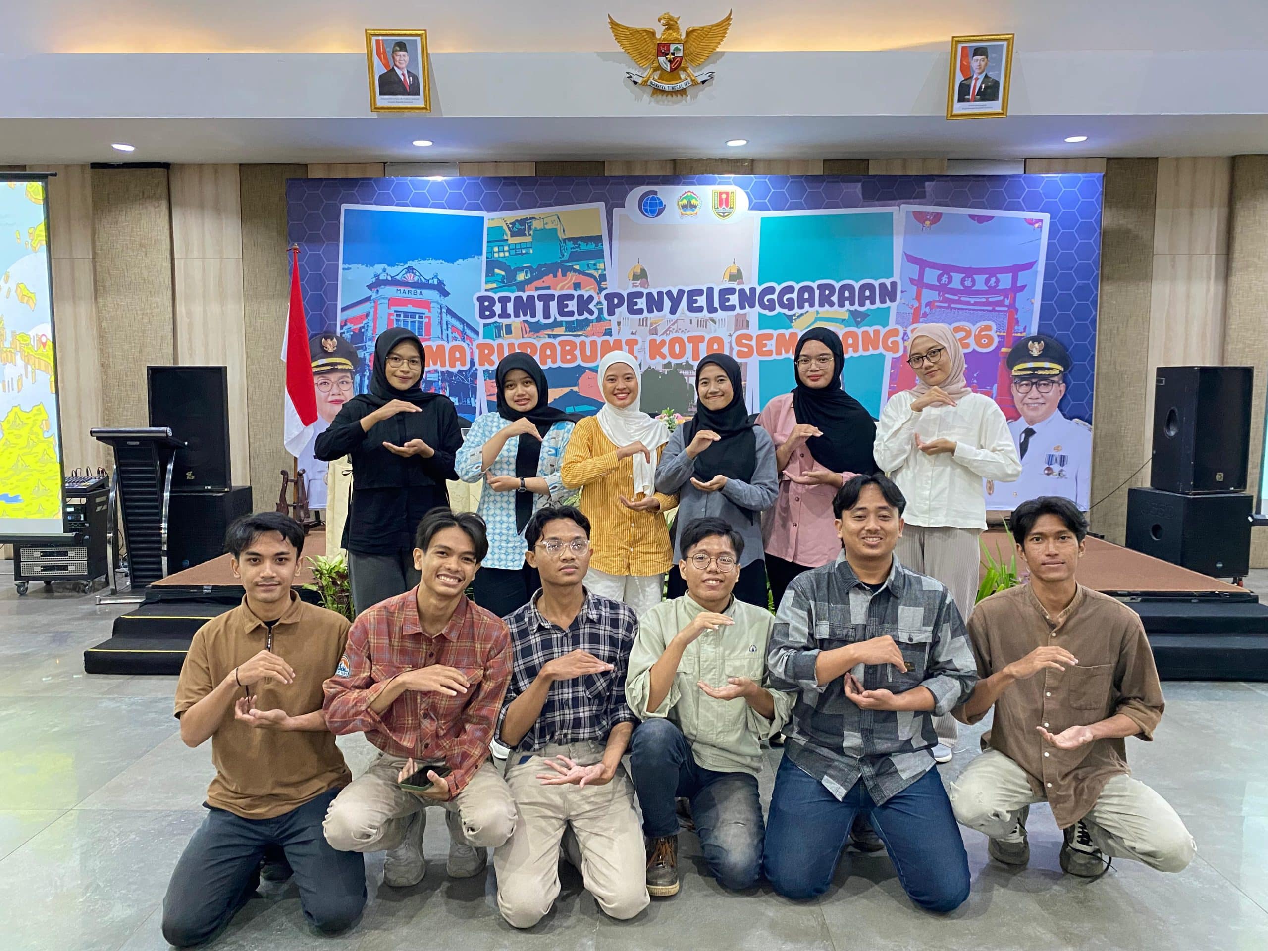
SEMARANG – Students of the Geography Study Program, Faculty of Social and Political Sciences (FISIP), Universitas Negeri Semarang (UNNES), demonstrated strategic participation in a Technical Guidance (Bimbingan Teknis/Bimtek) activity on the Administration of Geographical Names (Nama Rupabumi). Held on 12 February 2026, the activity was a collaborative initiative between the Regional Secretariat of the Semarang City Government and Badan Informasi Geospasial (BIG).
The technical guidance comprehensively examined all stages of geographical naming administration, from data collection to the official standardization of geographical names. The objective was to ensure the availability of valid geospatial data to support the integration of state administration and sustainable regional development.
The involvement of Geography students represents a concrete step in supporting Government Regulation No. 2 of 2021 concerning the Administration of Geographical Names. The regulation mandates accuracy and standardization in naming geographical features to ensure administrative order and safeguard Indonesia’s spatial information sovereignty.
Head of the Governance Division of the Semarang City Regional Secretariat, Yoga Tamtomo, S.STP, expressed his highest appreciation for the active participation of UNNES Geography students. He emphasized that the involvement of young intellectuals is a crucial element in fostering optimal multi-sectoral collaboration in updating geospatial data, which will provide comprehensive benefits for regional governance in Semarang City.
The forum also featured experienced speakers, including Dr. Aji Putra Perdana, M.Sc., Associate Surveyor for Geographical Name Data Collection, who underscored the critical importance of toponymic data validity. He explained that standardized geographical names are not merely map labels, but serve as a foundation for precise development planning and public service delivery. In line with this, the digitalization aspect became a central focus through a presentation by Ms. Kuncaraningrum, S.Sos., M.Si., representing the SINAR (Geographical Names Information System) application team. She outlined the web-based data collection mechanism accessible at sinar.big.go.id.
“Through the SINAR application, the processes of data input, review, and official determination of geographical names are now digitally integrated. We hope this application can be optimized to facilitate real-time field data verification,” she explained.
The participation of FISIP UNNES students is expected to bridge governmental data needs with academic scientific methodologies. Through this synergy, it is anticipated that an accurate and sustainable geospatial database will be established to support data-driven regional development in Semarang City.